Why?
East Lammermuir is increasingly degraded as a landscape, with built development encroaching upon natural spaces and farmland. Most of the fragmented habitats are declining in biodiversity and quality farmland is declining at some pace. Nonetheless the region is packed with exceptional interest layered with an array of international, national and local designations that recognise its national and international importance. Ask anyone who is familiar with their local landscape and they say of course – it is a well deserved reflection of the obvious, just missing a crucial accolade that of National Scenic Area (or “Area of Outstanding Natural Beauty”.)
We believe that ambitious, landscape scale restoration of habitats and biodiversity is overdue that can tie in with stewardship of the farming landscape.
What if?
What if our uplands formed a dynamic mosaic of habitats including wetland and bog, heather moorland, scrub and woodland … clean rivers were able to flow freely without barriers to fish migration and able to meander and flood to form pools and marshy wetlands … riparian woodland was able to flourish and regenerate, shading and cooling watercourses and forming an active part of the river ecosystem … large areas of actively regenerating native woodlands were connected across the landscape by woodland and scrubby hedgerows to form wildlife corridors…..coastal dunes and salt marshes were dynamic and resilient….?
How?
This project is about exploring how landowners and members of the wider community can best work together to kickstart practical action to realise such a vision of a regenerating landscape and widen understanding of the benefits this could bring.
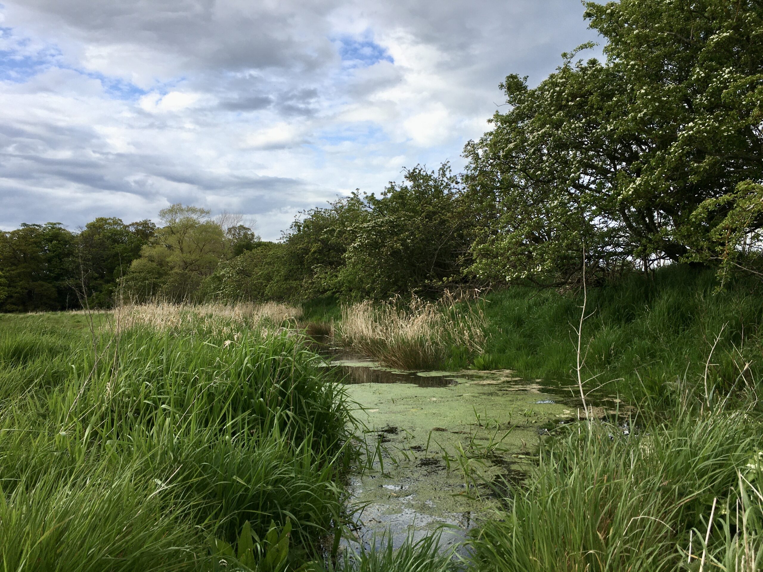
Initially, we will map two local river catchments to assess the range and condition of current habitats, key problems/pressures/opportunities and the main challenges facing biodiversity and river water quality from source to sea.
We envisage opportunities for practical enhancement projects such as wetland creation, leaky dams, woodland creation and riparian tree planting, removal of barriers to fish migration etc..as well as planning a programme for control of any invasive species and coordination of ongoing monitoring of river quality and the condition of surrounding habitats.
What next?
We hope that the action plan created should enable development of a coordinated programme of practical projects and ongoing citizen-science monitoring that can mobilise and make best use of local volunteer effort, knowledge and enthusiasm whilst also building relationships and increasing mutual understanding between landowners, farmers and the local community.