

Thinking Allowed: Landscape Biodiversity Action
During the development planning process (also known as LDP2) we started to think about nature recovery in the context of large scale energy developments. Communities developing Local Place Plans seemed to be thinking along similar lines. Thinking about Landscape Scale Biodiversity Action we came up with a few initial ideas, which need further development and testing. None of this is set in stone and the following are more designed as thought starters for conversations with farmers and other landowners, community and of course businesses, not prescriptions.
Building on the Local Development Plan evidence and East Lammermuir Community Councils Local Place Plan this map expands the ideas and develops them further for co-ordinated Landscape Scale Action, along with some broad brush areas for local interventions and initial prescriptions, starting simple.
Comment either using this website or on the felt map.
Mapping Units explained
How the map was created.
| Heading | Description |
| This map | Building on the LDP evidence and LPP this map expands the ideas and develops them further for co-ordinated landscape scale action. |
| LDP Core connections | The ELCC LPP map closely mirrors that of the LDP evidence to expand and link up native woodlands into a county-wide nature network, boosting habitat connectivity and species recovery. |
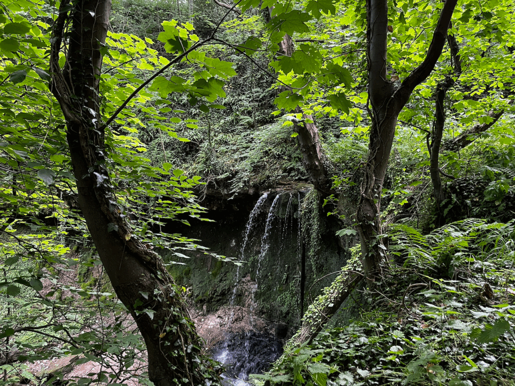
| LPP Biodiversity Extensions | Target main river corridors and their micro-catchments from summit to sea—recognising them as priority zones for focused conservation interventions. |
| River Extensions | These extensions ensure the riverine corridors and tributories are reflected. Strengthen deans and burns with leaky dams, barrier removal and re-meandering, adding riparian woodlands, wetlands and small ponds to stitch together native habitat links. |
| Foreshore & beaches | Embrace managed retreat—prioritize natural beach and dune processes (e.g., seaweed-mediated sand binding and wrack retention), allowing erosion to maintain ecological links from sea to shore rather than resisting it with hard defenses. |
| Coastal strip & raised beach | Restore the fragmented raised-beach corridor—healing waste- and power-station scars and threading roads, rails and cable routes—to reconnect seabird nesting refuges and the land-to-sea ecological link. |
| Moorland recovery | Re-wet and revegetate heather-peat mosaics—rough grass, scrub and wet flushes—slowing turbine-road runoff and rebuilding fragile organic upland soils. |
| Regenerate soils and connections | Cover crops, rotations and low-till soils, teamed with broad field margins, hedgerows and shelter-belts to rebuild soil life, create crop-friendly microclimates and stitch habitats back together. |
| Paths & quiet roads | Connect and upgrade underutilized farm tracks, informal paths, recognised routes and rural lanes (under 2–300 vehicles/day, < 40 mph) into a coherent network for safe active travel and countryside recreation. |
| ELC Native Woodland Expansion | Expand and link native woodlands into a county-wide nature network, boosting habitat connectivity and species recovery. |
| Listed Wildlife Sites | Key habitat hotspots and wildlife corridors, offering vital refuges for scarce species within the farmed landscape. |
| Watercourses | Dense East Lammermuir burns weave a biodiverse corridor, their clean-water life revealing ecosystem health from moor to sea. |
| Access network | By combining Core Paths, locally recorded “Other Paths,” ScotWays routes and the National Cycle Network into one layer, the map highlights where segments overlap or end—pinpointing gaps where new links or upgrades can stitch together a continuous rights-of-way network across rural and peri-urban areas. |
| Landscape Restoration Areas | Reinforce the special identity of East Lammermuir’s Special Landscape Areas—particularly where industrial, extractive or infrastructural development has degraded scenic and cultural qualities. These zones offer targeted opportunities to restore hedgerows and dykes, re-establish designed woodland features, rehabilitate quarries and landfill scars, and protect key views. Integrated action can recover legibility, enhance biodiversity, and renew the visual coherence of these historically rich but fragmented settings. |
| Catchment boundary | Catchment boundary |
| ELCC boundary | Community Council Boundary |
Biodiversity and Landscape Restoration Options Menu
To supplement the map we have created an initial table with the main mapping units and the kinds of prescriptions that might be realistic: actions for biodiversity, river extensions, etc. These include riparian buffer fencing, native tree planting, invasive species control not entirely dissimilar to former agri-environment schemes and similar funding sources. Adaptive management is a key consideration.
| Mapping Unit | Example Prescriptions |
|---|---|
| LDP Core Connections | 1. Improve ecological connectivity i.e create “nature networks”; 2. Engage with landowners to expand the scale of habitat improvements beyond the immediate development red lines; 3. Build up a menu of options to expand nature recovery activity across the locality in a range of different settings; 4. Establish baseline monitoring and mapping to secure durable management; 5. Maintain flexibility to update and build on prescriptions, based on landowner/community views, monitoring results and unforeseen challenges. |
| LPP Biodiversity Extensions | 1. Establish riparian buffer strips with native grasses and trees (see below); 2. Install livestock-exclusion fencing along eroding riverbanks; 3. Create networks of wetland scrapes; 4. Monitor water quality and biota to inform adaptive management; 5. Control invasive plants (e.g., Himalayan balsam) within riparian zones. |
| River Extensions | 1. Construct leaky dams (woody‐debris bunds) on key burns; 2. Remove or retrofit fish barriers (culvert redesign, notch weirs); 3. Re‐meander straightened sections to restore natural flow; 4. Plant riparian alder, willow and birch to stabilise banks; 5. Excavate off‐line ponds or scrapes to re‐establish wetlands. |
| Foreshore & Beaches | 1. Remove derelict sea defences and allow natural shoreline change; 2. Install sand‐dune fencing and revegetate with native marram and lyme grass; 3. Manage seaweed wrack deposition zones to promote natural sand binding; 4. Designate dog and people free zones around known nesting areas for shorebirds etc; 5. Work with landowners to discourage unnecessary ad hoc hard‐engineering. |
| Coastal Strip & Raised Beach | 1. Remediate soils on former dump/quarry sites via phytoremediation (native grass/forb planting); 2. Re‐grade and cap waste tips, then seed with native herbaceous mixes; 3. Remove invasive spp. and manage dense scrub as shelter for trees; 4. Install artificial ledges or suitable nesting substrates for seabirds on exposed cliff/rock faces or flat undisturbed areas; 5. Gap‐up hedgerows (hawthorn/blackthorn) to reconnect fragments, restore old walls. |
| Moorland Recovery | 1. Block grips with peat dams or coir rolls to restore hydrology; 2. Re‐seed bare peat with sphagnum propagules and heather plugs; 3. Conduct rotational heather cutting to create a mosaic of age classes; 4. Replace plastic culverts on turbine service roads with soakaway systems; 5. Erect temporary fencing to exclude grazing on recovering patches. |
| Regenerate Soils & Connections | 1. Cover‐crop seed mixtures (legumes, grasses) for overwinter soil coverage; 2. Promote reduced‐till or no‐till techniques via machinery hire grants; 3. Restore and gap‐up hedgerows by planting native species; 4. Create 3–6 m field‐margin buffer strips seeded with wildflowers; 5. Establish agroforestry shelterbelts (rows of native trees within fields) to build soil organic matter. |
| Paths & Quiet Roads | 1. Upgrade farm tracks with grass‐reinforcement mesh, opening them to walkers/cyclists; 2. Signpost and waymark linkages between core paths, ScotWays routes and quiet lanes; 3. Install low‐cost cattle grids or bollards at gateways to maintain livestock control while allowing access; 4. Repair stiles/gateways to meet basic accessibility standards; 5. Introduce traffic‐calming features (gateways, rumble strips) on lanes with <300 vehicles/day (< 40 mph). |
| Landscape Character Restoration | 1. Restore hedgerows and stone dykes using local materials to reinforce traditional field patterns; 2. Rehabilitate quarry and landfill scars using native grassland and scrub planting; 3. Enhance key viewpoints with selective tree management to reveal historic vistas; 4. Reinstate small copses and policy woodlands around settlements and estate landscapes; 5. Coordinate utility and infrastructure mitigation with habitat buffers and screening using native trees and topography. |
Local heritage, biodiversity and geodiversity map
nature recovery is a work in progress